It’s October already and the fourth graders have turned into explorers! A focus of social studies for fourth graders is learning about the beginning and early years of American society. In order to fully understand how a society came to be, its customs, cultures, jobs and daily life one must have a prior understanding of the geography of the area. Geography, after all, affects its community and often dictates many of its choices. For this reason, 4th graders are beginning the year by learning about geography through literacy and hands-on exploration as well as exploring tools that we can use to investigate this further. We are geography explorers.
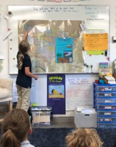
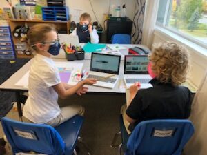
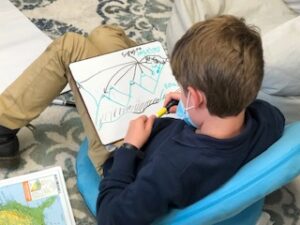
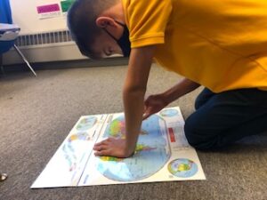
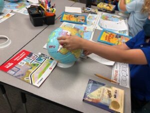
Literacy is a major component of learning about geography. Reading, speaking, writing and listening are crucial to the development of a student’s understanding of geography. We began our exploration of geography through the use of literature and learning about different landforms. From here students researched further about the landforms they were most interested in. Some chose to work independently while others chose to pair up. Through the use of digital tools, raised relief maps, globes and atlases students synthesize information to create a cohesive visual presentation that they would use to teach other students the important facts about their geographical structure. Student presentations included definitions of the landforms, explanations of how and where the landforms were created, examples of the landforms, diagrams with labels and some included 3-dimensional models from building dough. By using this cross curricula and multi sensory approach to the topic, all students whether auditory, visual, kinesthetic or social learners, were easily able to access the new information.
An activity such as this was not only enjoyable and thought provoking for the students but was an opportunity for them to interact with the Geography Standards as well as practice Academic Practices:
GEO 4.1 Construct geographic representations of both familiar and unfamiliar places.
GEO 4.2 Use maps, satellite images, photographs and other representations to explain relationships between the locations of places and regions and their environmental characteristics.
ACD.1 Respond to the varying demands of audience, task and purpose.
Students took ownership of their research, visual and oral presentations in support of PNA’s goal to educate our students to be exceptional learners and independent thinkers. They spoke clearly and with confidence in their presentations and answering questions, and listened politely, respectfully and fully engaged as audience members. It’s only the beginning for us!